SEMINAR S2 JMA-FR 2
Urban densification and landscape project [EN]
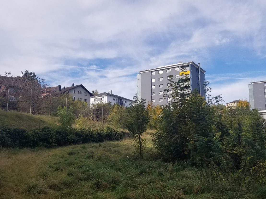
 Jardin privé délaissé et sous utilisé dans un des quartiers les plus dense de Fribourg (Beauregard). Photographie : Estela Brahimllari, oct 2021
CONTENT
Identification, mapping, mobilization, and design of open spaces to address current challenges of sustainability and densification of cities.
TEACHING AIMS
- Provide benchmarks on the role of open spaces in relation to major historical trends in architecture, town planning and ecology.
- Understand spatial devices where densification and landscape architecture are closely related (garden city, green belt, park system, tiers paysage, urban agriculture).
- Explore major landscape urbanism projects.
- Develop skills for drawing and representing of open spaces.
- Understand the system of stakeholders lying under an urban/landscape project and the urban pressure that could be exerted on open spaces (notion of land value, land right, regulation, citizen participation, density acceptance, the blocking of a project, uses’ conflicts, …).
TEACHING FormS
- Cours théoriques et exposés-conférences par intervenants internes et externes.
- Theoretical courses and lectures from internal and external speakers.
- Field exploration and survey.
- Field trip with local stakeholders (landowners, green spaces operators, users,).
- Analysis and critical review of landscape architecture projects.
- Diagnostic of a space through its representation – desk critic – mapping exercises – the representation of open spaces favors a better understanding of a place and its stakeholders’ system.

